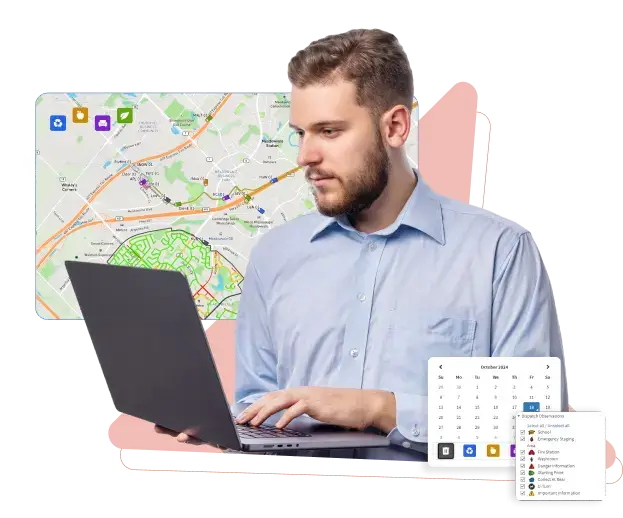
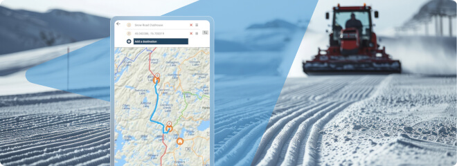
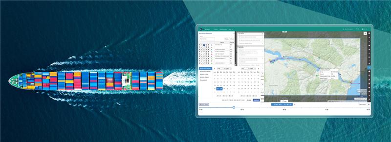
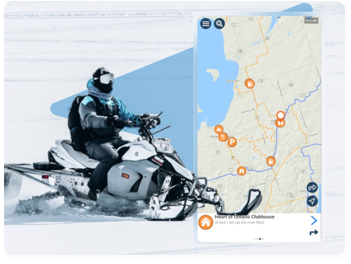
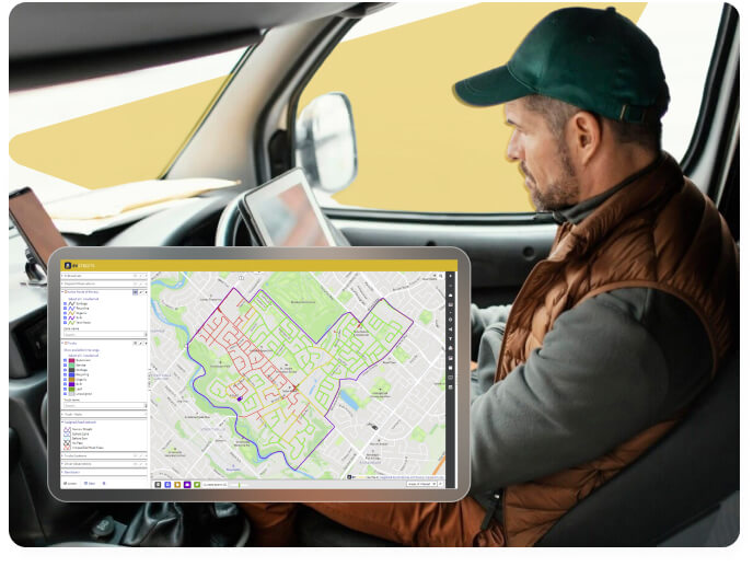
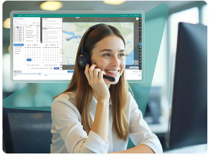
Allez de l’avant avec la cartographie intelligente MAPGEARS

Des espaces de loisir avec pistes et sentiers aux services publics déployés sur les rues d’une ville ou municipalité : gérez, suivez et optimisez l’ensemble de vos opérations à l’aide des solutions en cartographie intelligente MAPGEARS.

Ils nous font confiance

Ouvrir de nouveaux horizons

Les technologies numériques et la géolocalisation ne sont que le point de départ.

Chez MAPGEARS, on transforme les données géospatiales en solutions à valeur ajoutée qui permettent aux individus, entreprises et organisations de mieux comprendre, gérer et interagir avec notre monde.

Accessibles et éprouvées, nos applications web et mobiles clé en main vous permettent de tirer profit efficacement de fonctionnalités avancées en matière de cartographie. Avec MAPGEARS, vous bénéficiez d’une technologie robuste et évolutive pour répondre à vos besoins d’aujourd’hui et de demain.

Let’s make every journey a great one!

Our solutions

Vos besoins, nos solutions

Avec MAPGEARS, tirez le plein potentiel de la cartographie intelligente. Profitez d’une solution adaptée à votre réalité, sans enjeux de développement technologique, de maintenance ou de fiabilité.

MAPGEARS Trails 

Gagnez en efficacité par la gestion en temps réel de votre réseau de pistes et sentiers. Offrez à votre clientèle des cartes web et mobiles utiles et sécuritaires.

MAPGEARS Streets

Gérez, optimisez et améliorez vos opérations de collecte des matières résiduelles et de déneigement

MAPGEARS Ondago

Transformez facilement vos cartes papier traditionnelles en des cartes interactives géolocalisées qui représentent fidèlement l’identité de votre marque.

MAPGEARS eVouala

Créez une application cartographique pour les besoins précis de votre organisation avec la puissance d’eVouala — la plateforme technologique au cœur des solutions MAPGEARS.

Benefits

Explore our mapping solutions

Discover the innovative solutions at MapGears that cater to your mapping needs. We help you navigate your world with ease, whether you’re working in a city or enjoying the great outdoors.
Comprehensive management for recreational trails
MapGears Trails
  • 1

    User-friendly interface

    The platform is designed to be intuitive and easy to use, enabling organizations to quickly and efficiently manage their trail data without extensive training or technical expertise.
  • 2

    Real-time updates

    Organizations can monitor the status of trails in real time, providing timely information about trail conditions and accessibility, which enhances safety and user experience.
  • 3

    Improved communication

    By providing members with real-time information and resources, organizations can enhance communication and foster a sense of community among trail users.
Offline maps for outdoor adventures
MapGears Ondago
  • 1

    Enhanced visitor experience

    Ondago turns traditional maps into interactive, geolocated ones, enriched with text, photos, and audio, providing visitors with a more engaging exploration experience.
  • 2

    Increased security

    Even without a network, visitors can navigate confidently using digital maps that show routes, attractions, and their own location, ensuring safety.
  • 3

    Cost-effective and efficient management

    Ondago offers affordable mapping tools and real-time management solutions through Ondago PRO, saving time and resources while improving efficiency.
Manage city streets and infrastructure
MapGears Streets
  • 1

    Streamlined operations

    evStreets simplifies management tasks by allowing you to assign routes, drivers, and contracts in just a few clicks, saving time and effort.
  • 2

    Real-time monitoring

    You can track the progress of operations and the location of trucks in real time, enabling quick responses and better oversight.
  • 3

    Enhanced customer control

    The self-service Customer View gives your customers access to detailed information about operations, allowing them to respond to inquiries and independently check statuses.
Visualize and manage geographic data
MapGears eVouala
  • 1

    Centralized data management

    eVouala centralizes all geospatial data into one cloud-based system, simplifying data collection, storage, and management for more efficient operations.
  • 2

    Time and cost efficiency

    By automating processes and streamlining operations, eVouala helps save time and reduce both administrative and IT costs, making it a cost-effective solution.
  • 3

    Real-time collaboration

    eVouala enables real-time information sharing with users, allowing teams to collaborate seamlessly and access the right data according to set permissions.
MapGears Trails
  • 1

    User-friendly interface

    The platform is designed to be intuitive and easy to use, enabling organizations to quickly and efficiently manage their trail data without extensive training or technical expertise.
  • 2

    Real-time updates

    Organizations can monitor the status of trails in real time, providing timely information about trail conditions and accessibility, which enhances safety and user experience.
  • 3

    Improved communication

    By providing members with real-time information and resources, organizations can enhance communication and foster a sense of community among trail users.
MapGears Ondago
  • 1

    Enhanced visitor experience

    Ondago turns traditional maps into interactive, geolocated ones, enriched with text, photos, and audio, providing visitors with a more engaging exploration experience.
  • 2

    Increased security

    Even without a network, visitors can navigate confidently using digital maps that show routes, attractions, and their own location, ensuring safety.
  • 3

    Cost-effective and efficient management

    Ondago offers affordable mapping tools and real-time management solutions through Ondago PRO, saving time and resources while improving efficiency.
MapGears Streets
  • 1

    Streamlined operations

    evStreets simplifies management tasks by allowing you to assign routes, drivers, and contracts in just a few clicks, saving time and effort.
  • 2

    Real-time monitoring

    You can track the progress of operations and the location of trucks in real time, enabling quick responses and better oversight.
  • 3

    Enhanced customer control

    The self-service Customer View gives your customers access to detailed information about operations, allowing them to respond to inquiries and independently check statuses.
MapGears eVouala
  • 1

    Centralized data management

    eVouala centralizes all geospatial data into one cloud-based system, simplifying data collection, storage, and management for more efficient operations.
  • 2

    Time and cost efficiency

    By automating processes and streamlining operations, eVouala helps save time and reduce both administrative and IT costs, making it a cost-effective solution.
  • 3

    Real-time collaboration

    eVouala enables real-time information sharing with users, allowing teams to collaborate seamlessly and access the right data according to set permissions.
Industries

Tirez profit de vos données géospatiales

Nos solutions procurent un avantage concurrentiel aux entreprises et organisations de différents secteurs en facilitant l’accès en temps réel aux informations géospatiales.

Services publics

Tourisme et loisirs

Transport et logistique

Environnement et industrie forestière

La cartographie intelligente à votre portée

Voyez comment l’une de nos solutions peut contribuer à votre organisation. Parlez avec un expert MAPGEARS pour en savoir plus.
Succès client

Défier l’hiver dans la capitale américaine

Avec MAPGEARS Streets, la ville de Washington rehausse de façon remarquable la performance de son programme de déneigement.

En tirant profit des fonctionnalités de répartition et de suivi en temps réel des équipements offertes par MAPGEARS Streets, les responsables de la ville optimisent leurs opérations — accroissant simultanément la productivité et le niveau de satisfaction des conducteurs et autres intervenants sur le terrain.

Équipé de MAPGEARS Streets, le département des travaux publics de la capitale déploie non seulement ses opérations de déneigement plus rapidement, il augmente également l’imputabilité et la transparence en matière de facturation et de paiements — fini la gestion avec des documents papier !

Témoignages

Expériences client

MAPGEARS comprend notre industrie, autant en matière de modèle d’affaires que pour les questions de service à la clientèle et de gestion des risques. Les guides de sentiers interactifs sur web et application mobile sont devenus essentiels à notre fédération. En combinant ces deux outils, on augmente considérablement la sécurité : notre équipe peut maintenant fournir des infos sur les pistes en temps réel à nos clients comme à nos premiers intervenants, pour qui la précision et la vitesse de transmission des informations sont primordiales.
Ryan J. Eickmeier | MPP, LLM, EMBA Fédération des clubs de motoneige de l’Ontario (OFSC)

133 800

km of trails updated in real time

175 000

app downloads per year

2 482 900

web map views by year
Nos clients ont fait le saut vers le numérique et préfèrent largement la convivialité des cartes interactives développées avec MAPGEARS. La dernière saison a été de loin notre meilleure depuis des années ; pas de doute, en nous permettant d’améliorer nos opérations et d’offrir une meilleure expérience à nos clients, la solution MAPGEARS Trails contribue directement à ce succès.
Leah Switzer | Executive Director Saskatchewan Snowmobile Association Inc.

133 800

km of trails updated in real time

175 000

app downloads per year

2 482 900

web map views by year
Avec MAPGEARS Streets, on a vraiment gagné en efficacité. Le suivi en temps réel et l’élimination des documents papier simplifient nos opérations. On garde également une mainmise sur tous les mandats en récoltant des informations plus claires et précises pour la facturation.
Washington Department of Public Works 

133 800

km of trails updated in real time

175 000

app downloads per year

2 482 900

web map views by year

Réponses à vos questions

Au-delà de notre site web, il y a de vrais experts. Parlez avec un spécialiste en cartographie intelligente de MAPGEARS.
Retour en haut

Apply

Postulez EN

Maximum file size: 2.1MB